Antalya Kepez Map and Data
Antalya Kepez You can get neighborhood boundaries, village boundaries, street, door number data from Adres Harita Ltd. Data format: shape, json, kml, sql, gdb, esri shapefiles, kmz, geojson.
Socio-Economic Values
At the neighborhood level, demographics (population, education, age, household, marital status), number of houses, number of workplaces, earthquake status, per capita income, expenditure, elevation data are available with annual updates.
Map Design
We can make street maps, neighborhood maps, village maps, road maps, district maps. We can give you high quality ready to print. PDF, JPG, PNG.
Antalya Kepez Haritasının Özellikleri
We can prepare these maps as stickers to be hung on the wall or attached to the window in writable and erasable PVC, magnetic sheet, forex, foil. Wooden looking frames can also be made.
Harita Yaptırmak İstiyorsanız Bizi Arayın
Let us listen to you and give you our suggestions in a short meeting. With our 20 years of experience and hundreds of large company references, you will receive quality and trouble-free service.
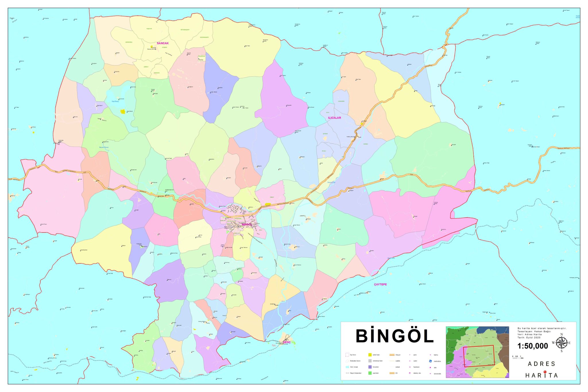
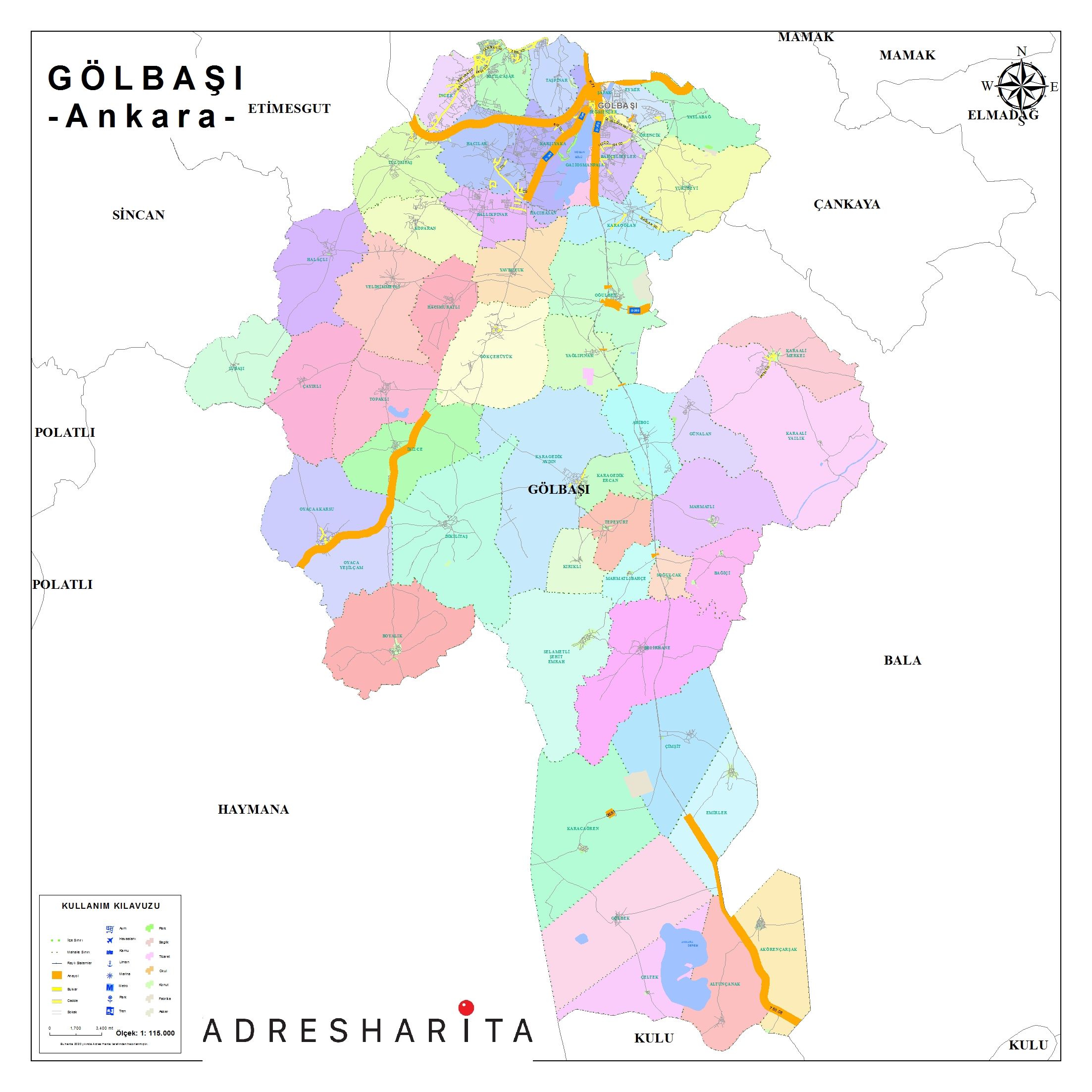
Antalya Kepez Mahalle Haritası
Antalya Kepez Mahalle Haritası Örnek Görsel
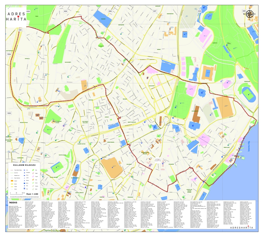
Antalya Kepez Mahalle Haritası Örnek Görsel 2